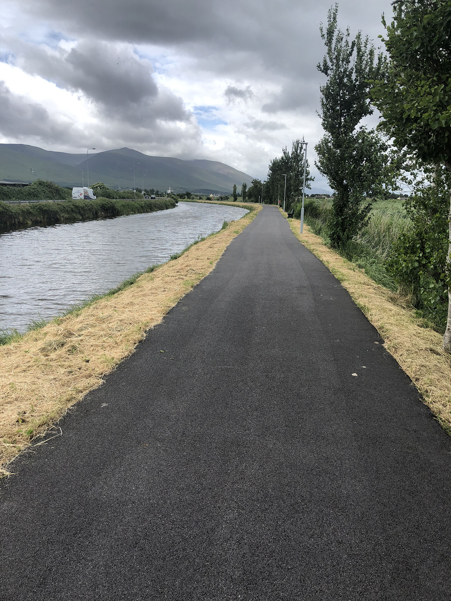
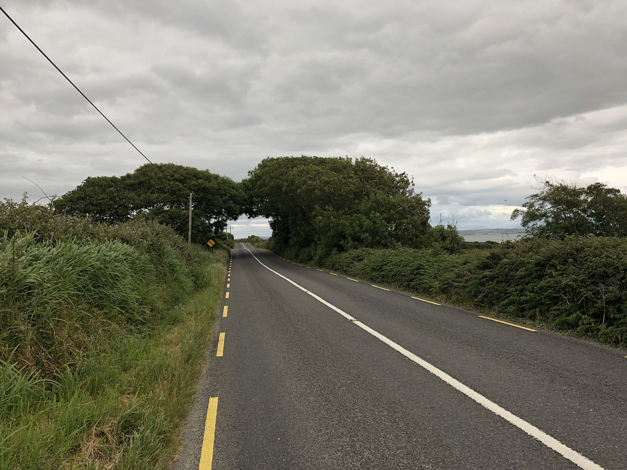
The day started very well. A nice breakfast of toast and cereal at the B&B, then out into a nice, overcast day – perfect cycling weather. The first 40km were a dream – after that the roads weren’t so good, but I still made good progress.
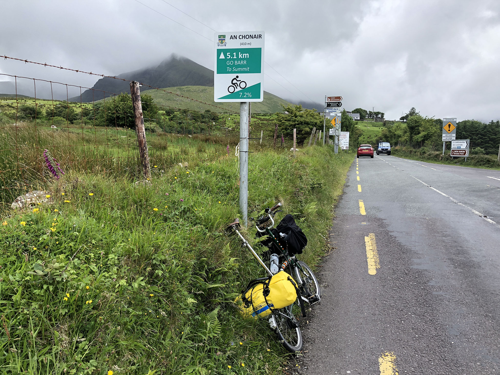
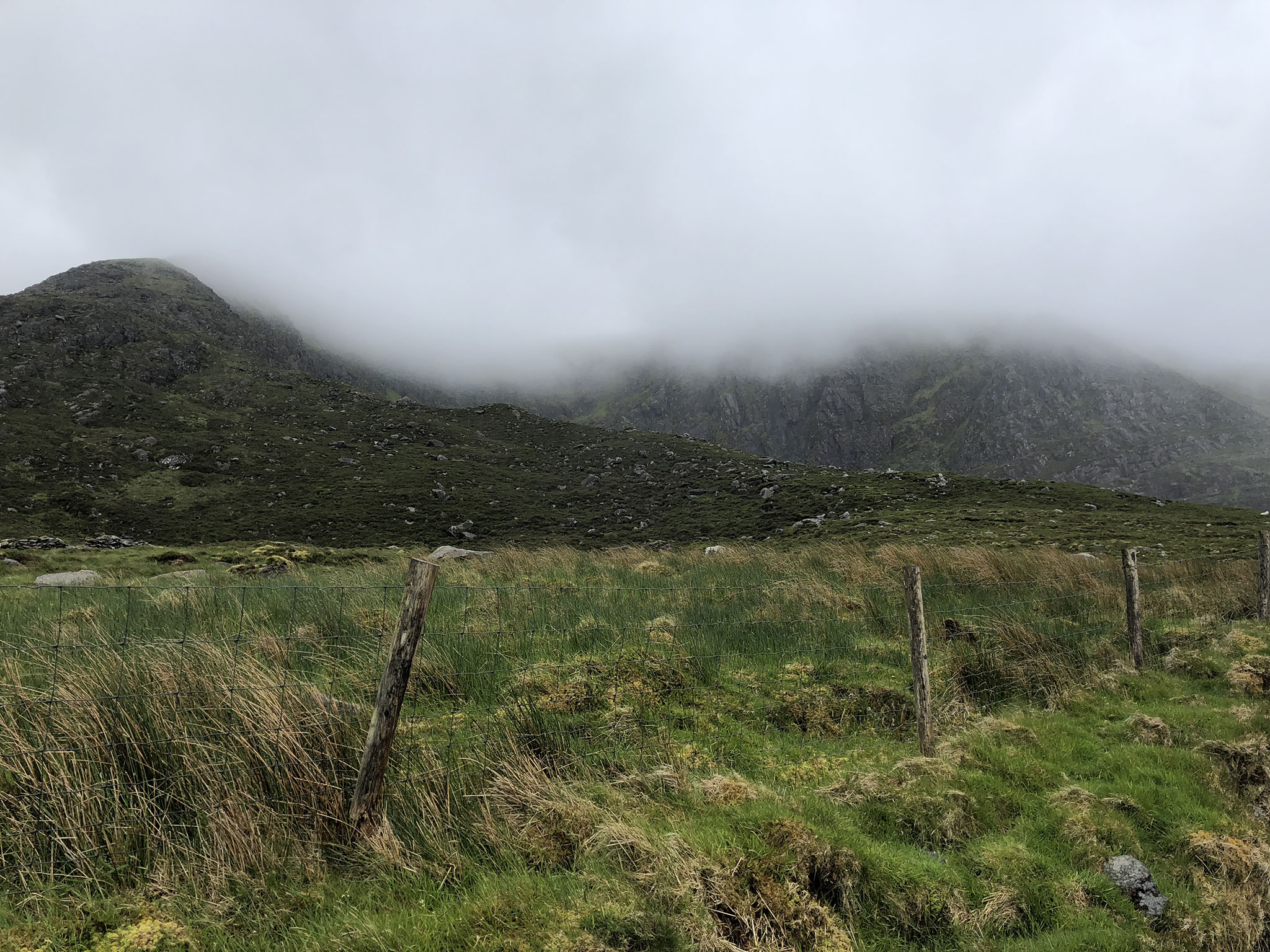
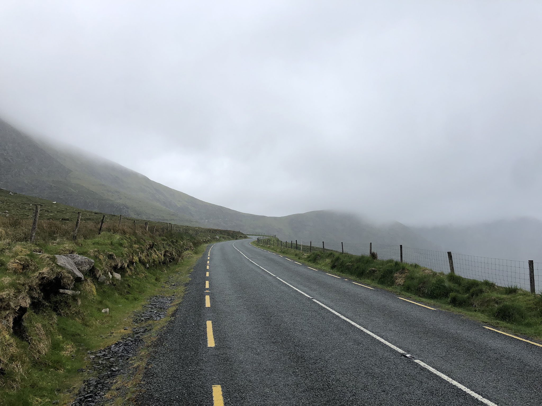
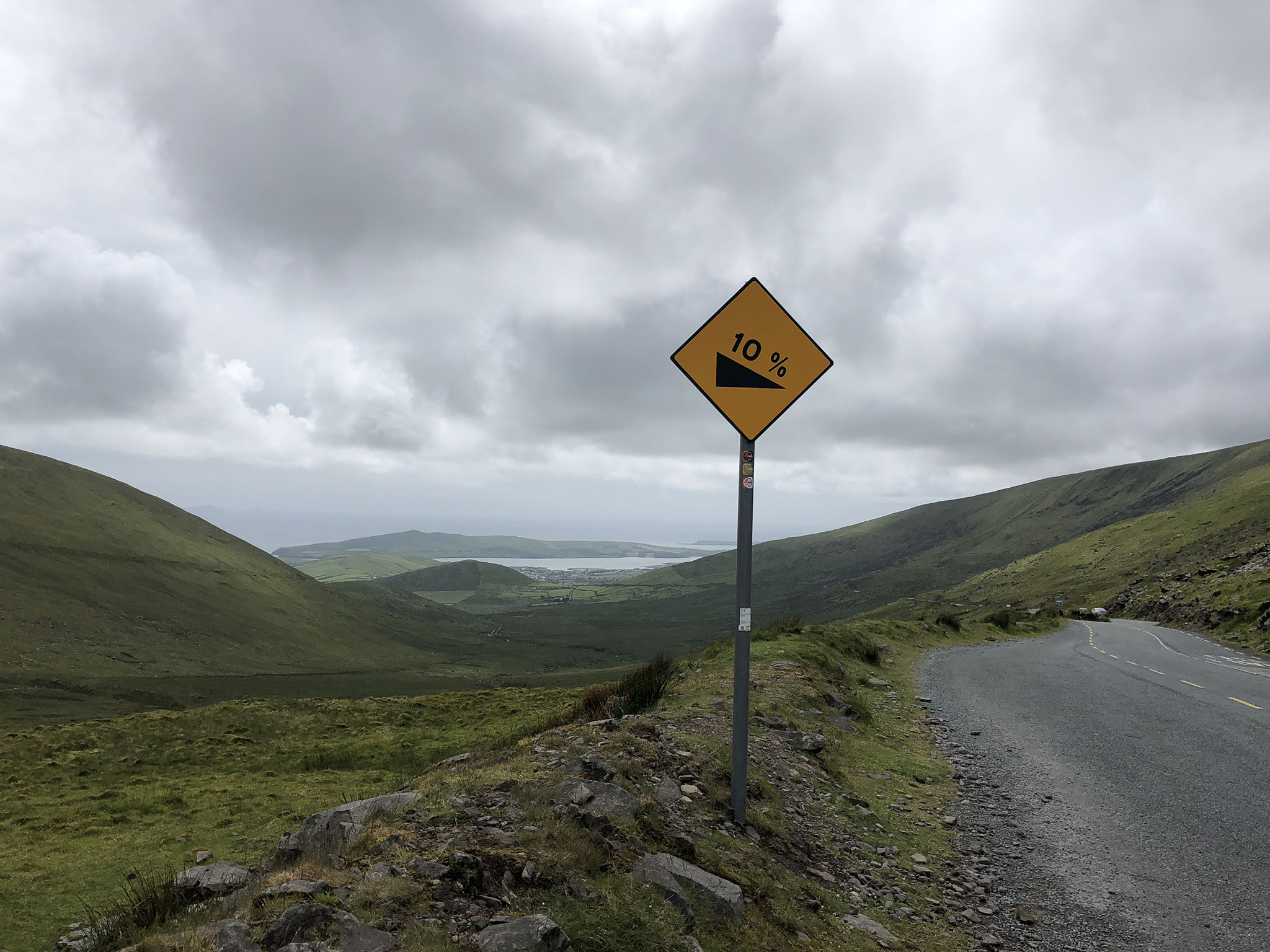
After that came Conor Pass, the highest climb in the race. Actually pretty good, I was able to ride it all in first gear. The slope average 7.1% gradient at the bottom and 7.7% at the top, so a bit of a grind but one that doesn’t me out.
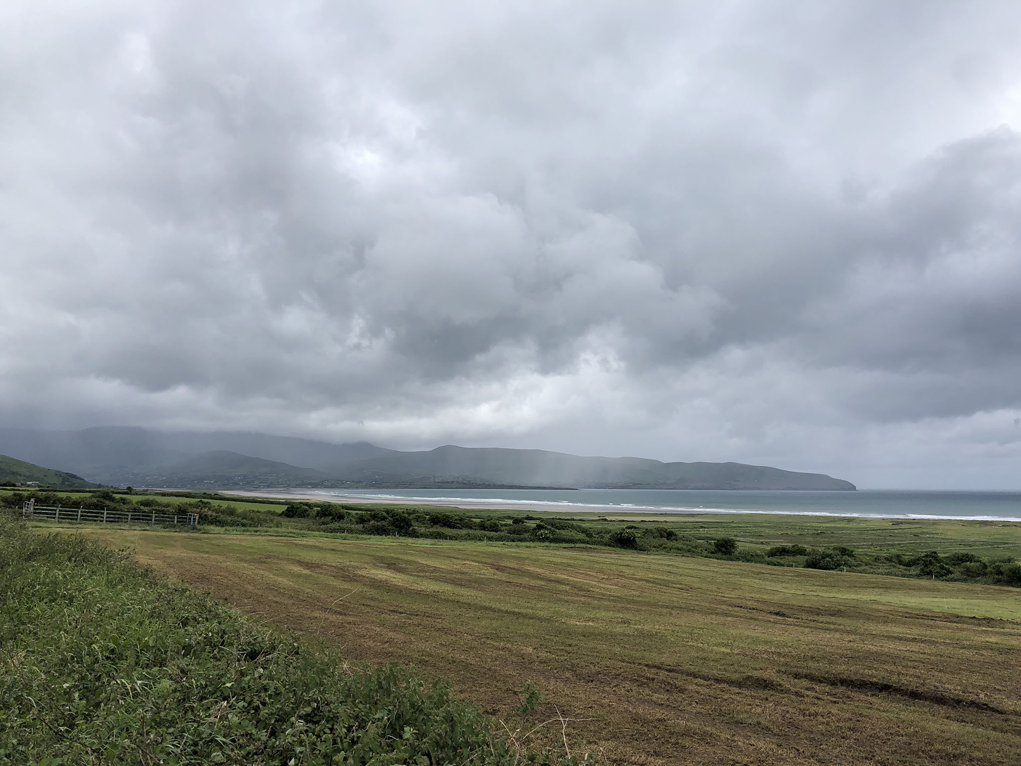
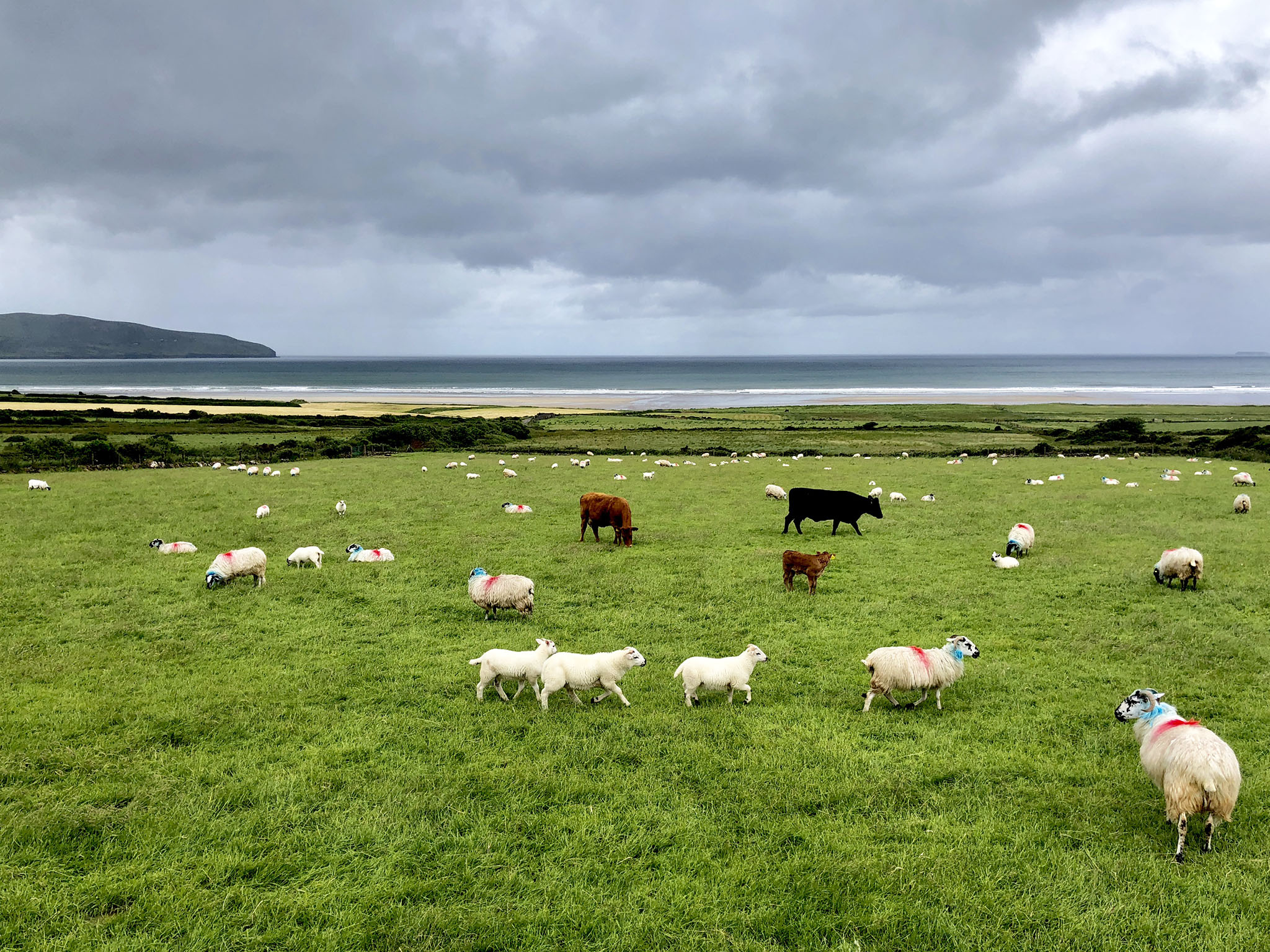
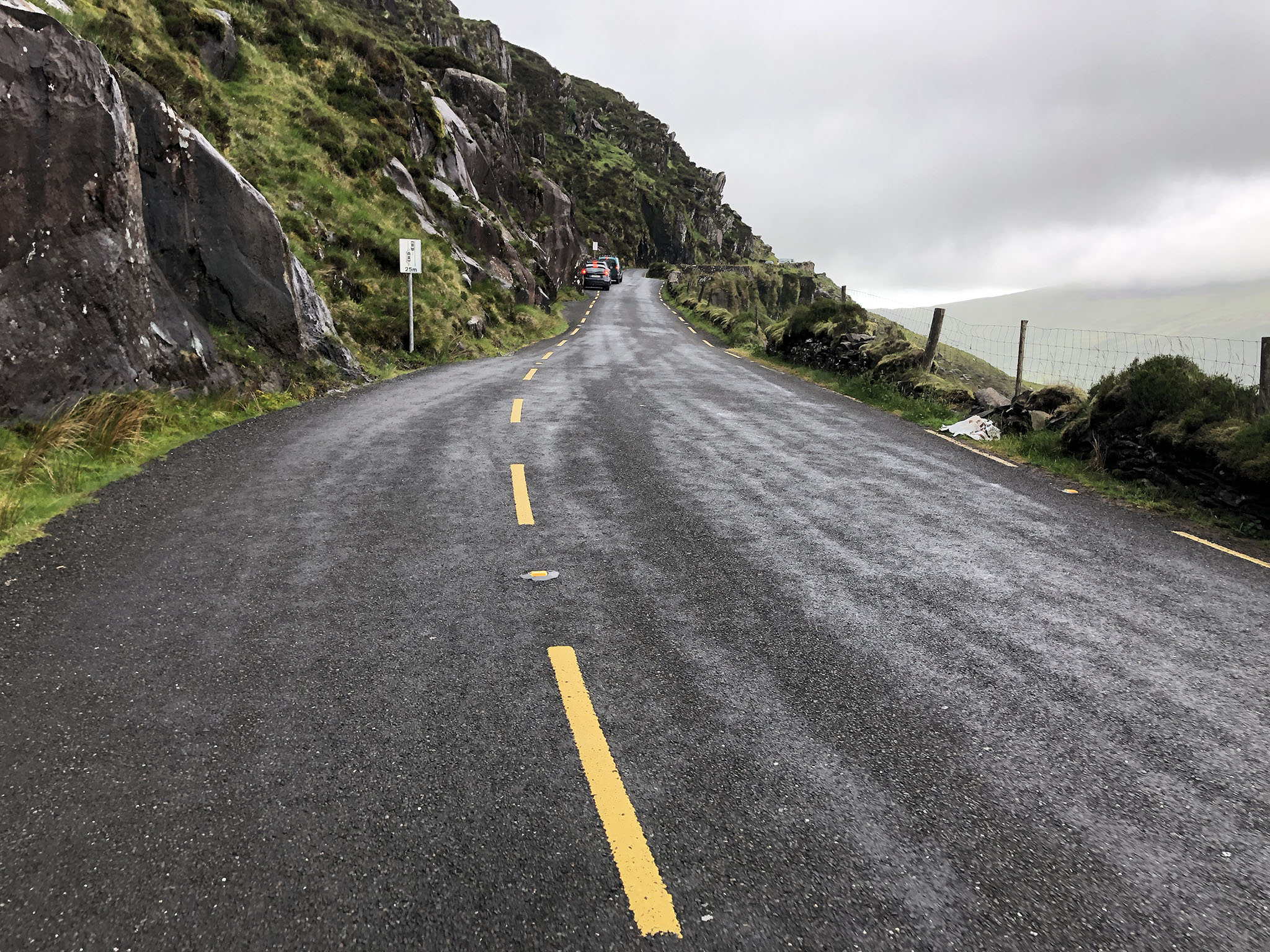
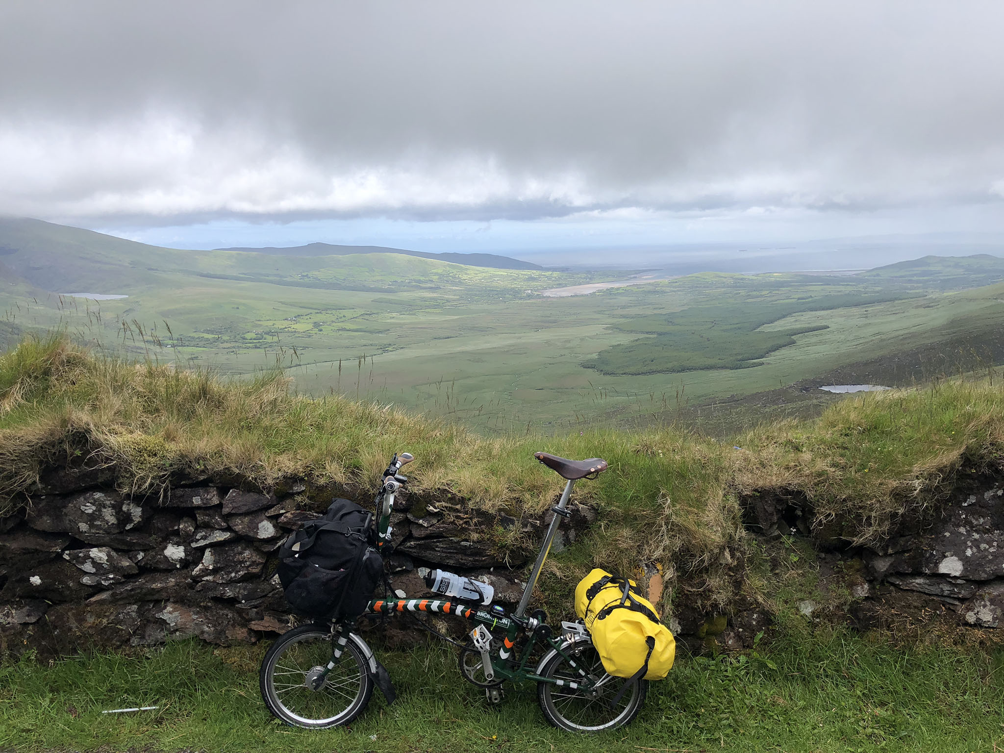
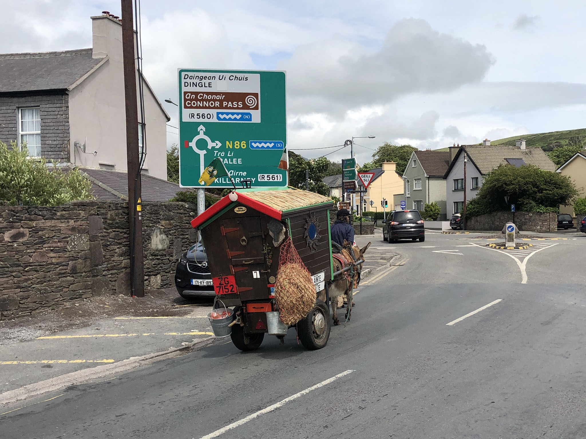
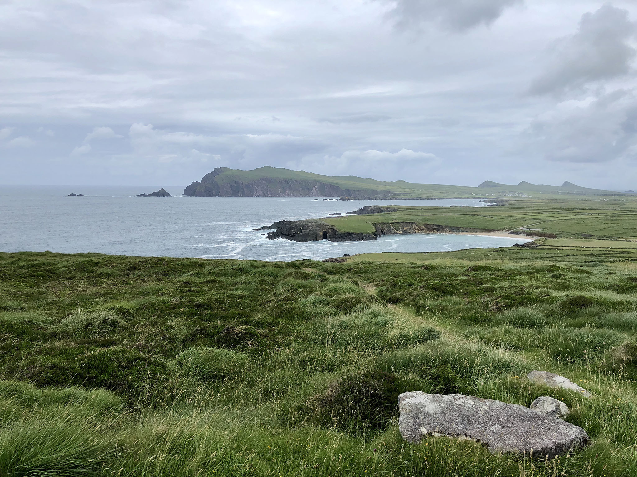
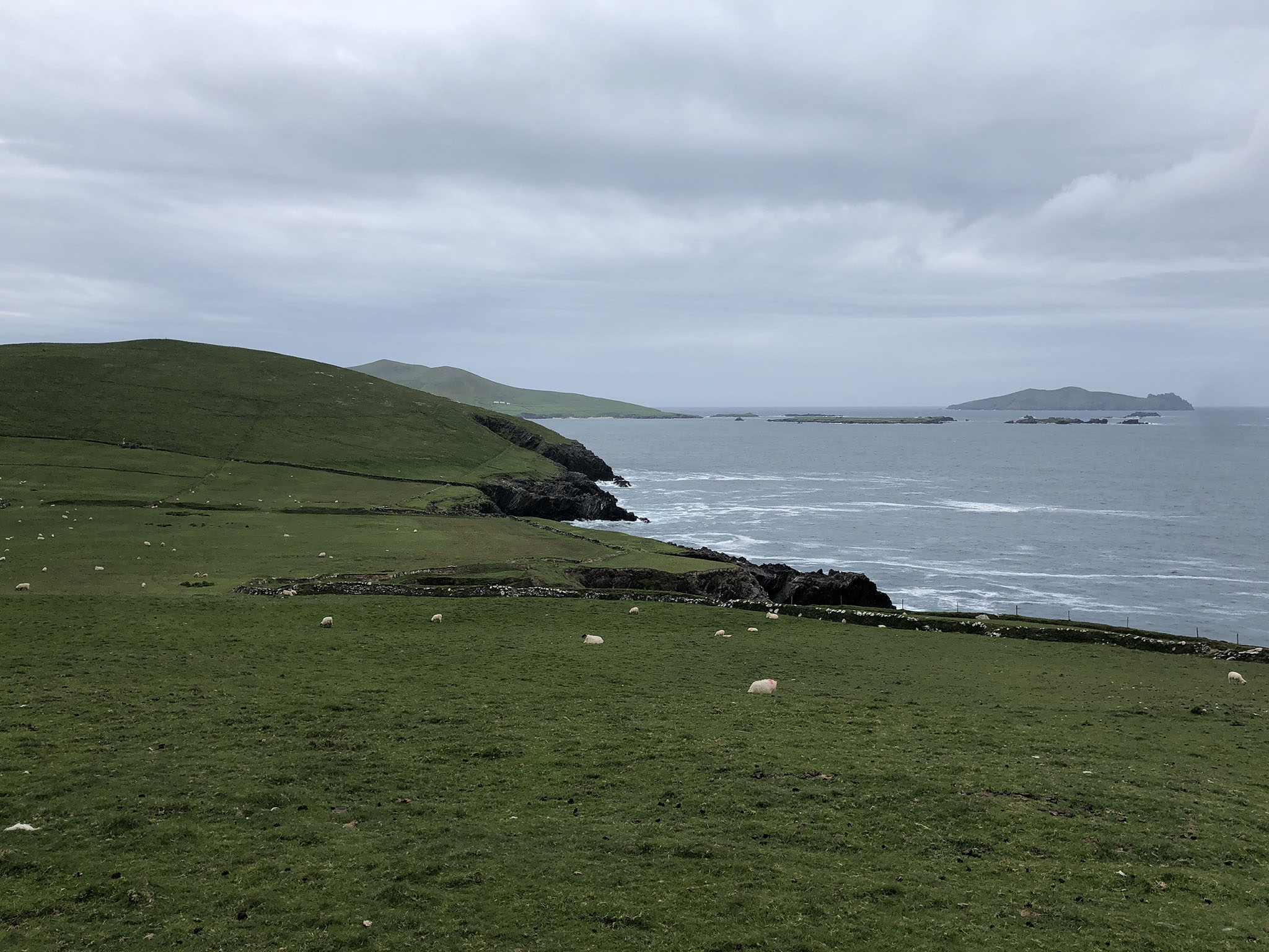
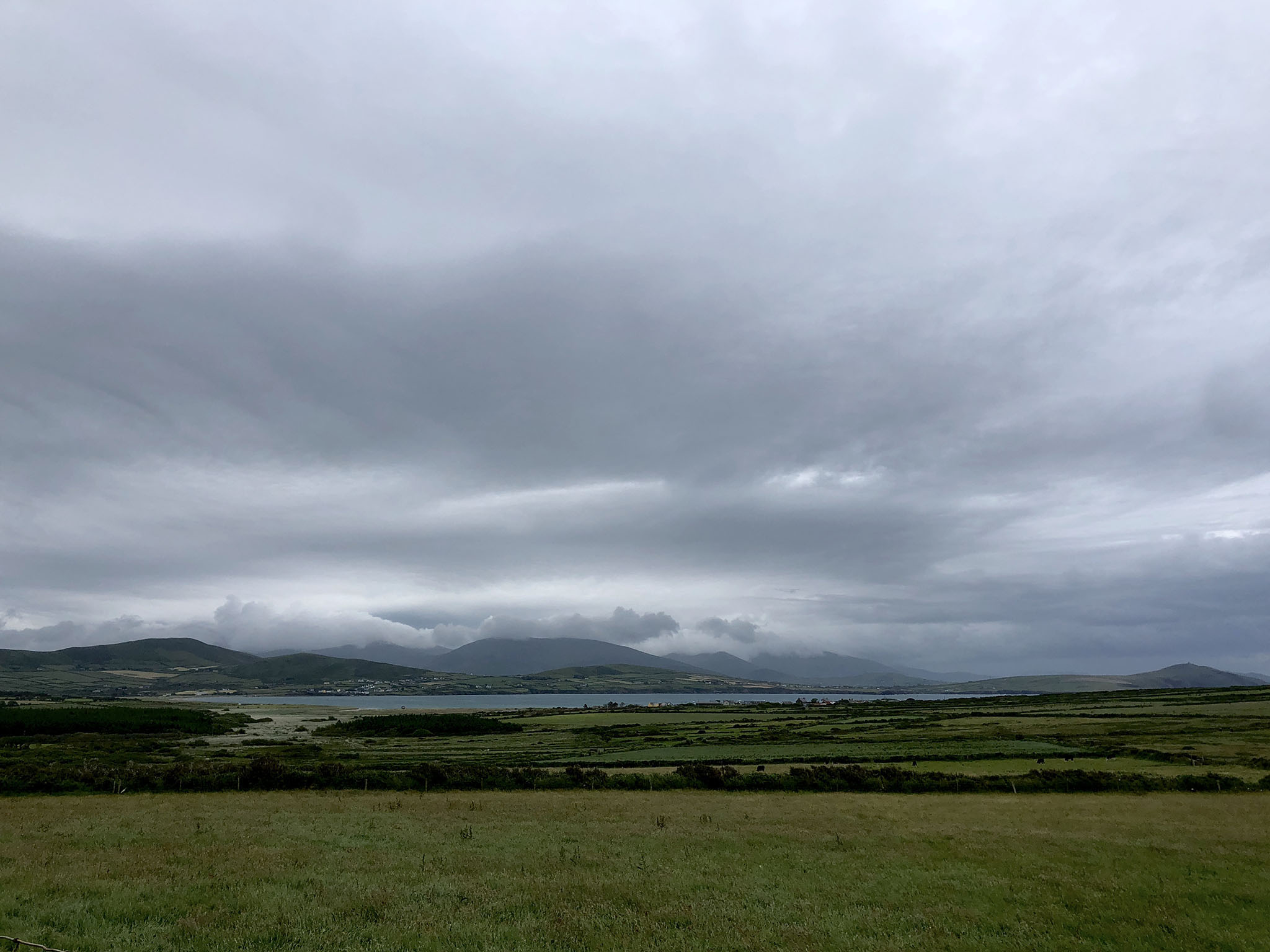
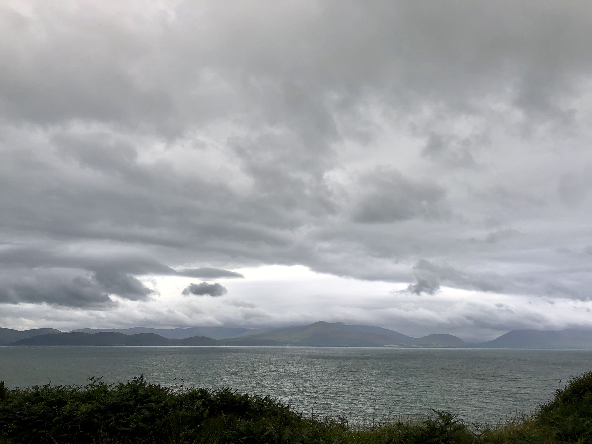
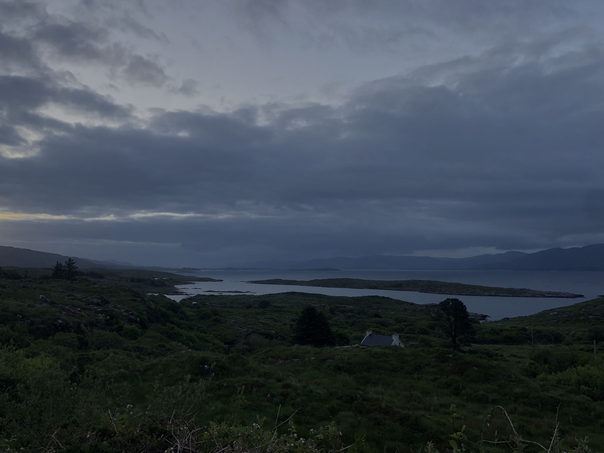
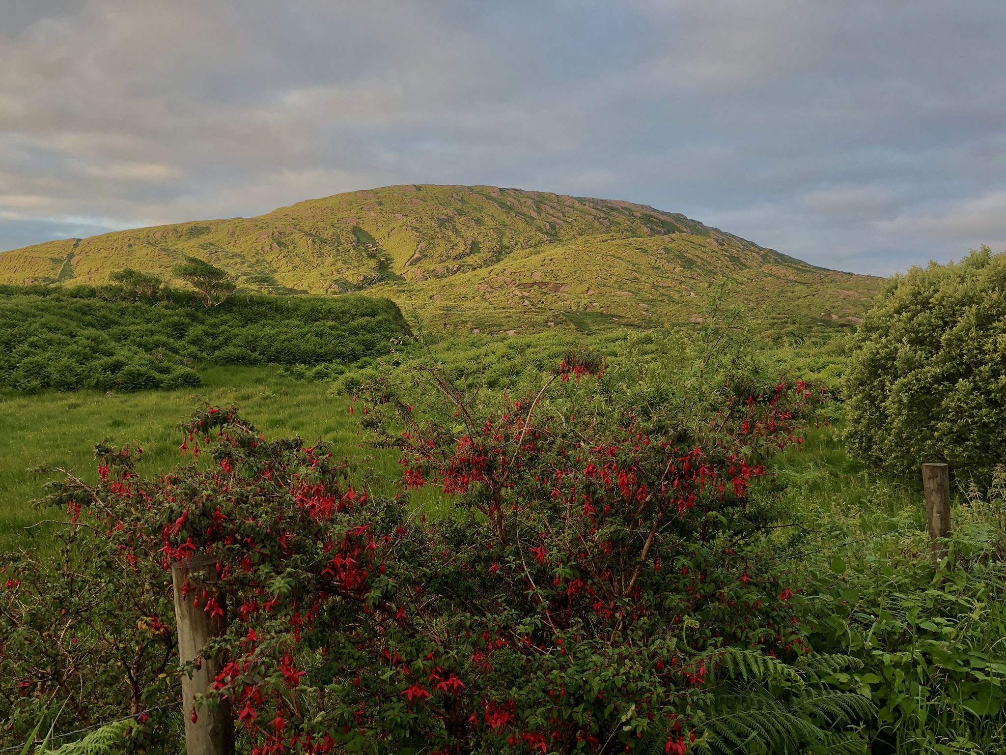
The view at the top was amazing, as was the long downhill into Dingle. Then a ride around the Dingle peninsula with more amazing views at every turn.
When I got back to Dingle I took a look at my options. There weren't any available b&bs or hotels at the distance I wanted to cycle to and I didn’t really want to cycle a shorter distance. I checked the weather forecast and there was about an hour in total forecast around midnight. So my plan was to cycle on to about 3am then bivvy somewhere for a few hours and start early the next day.
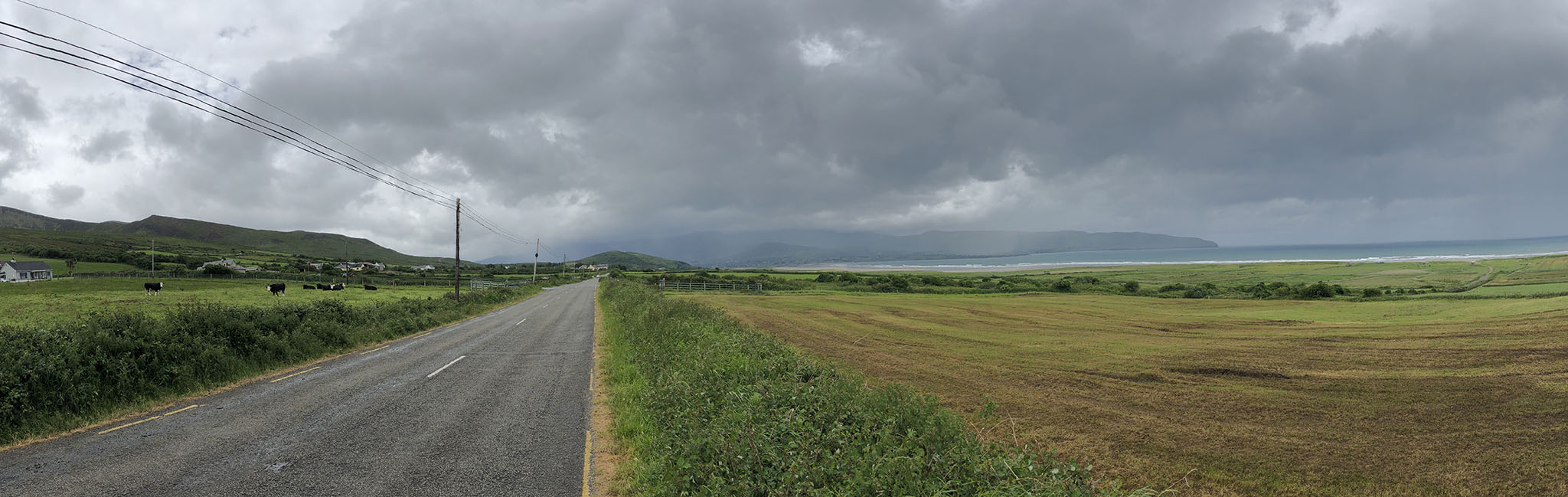
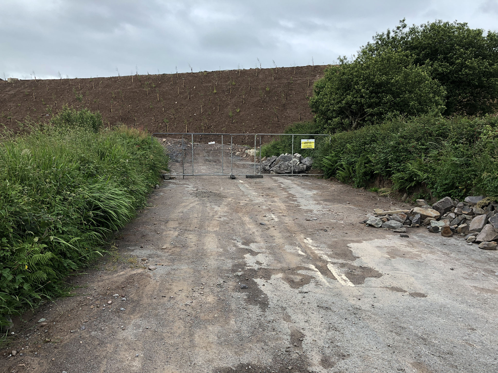
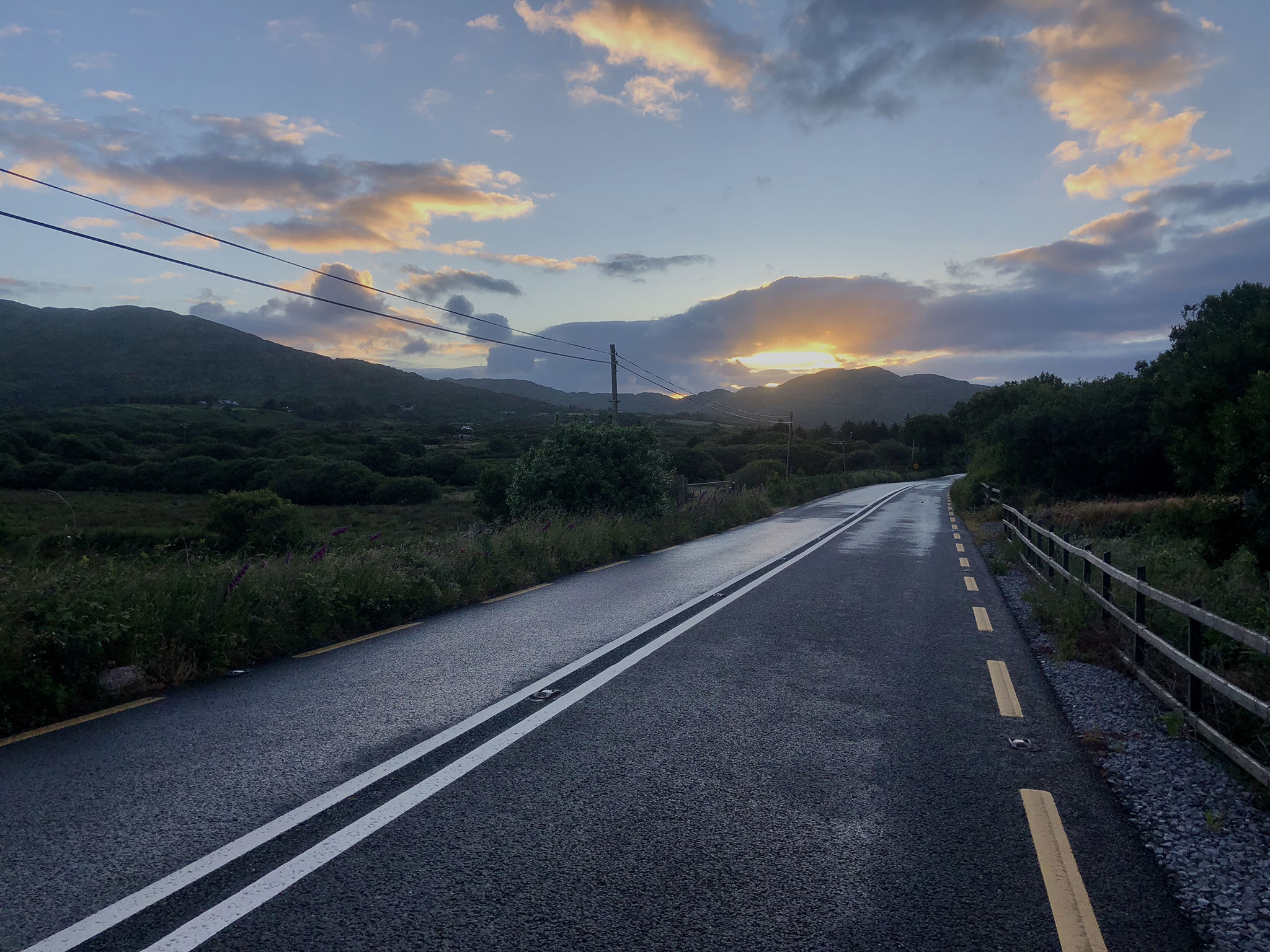
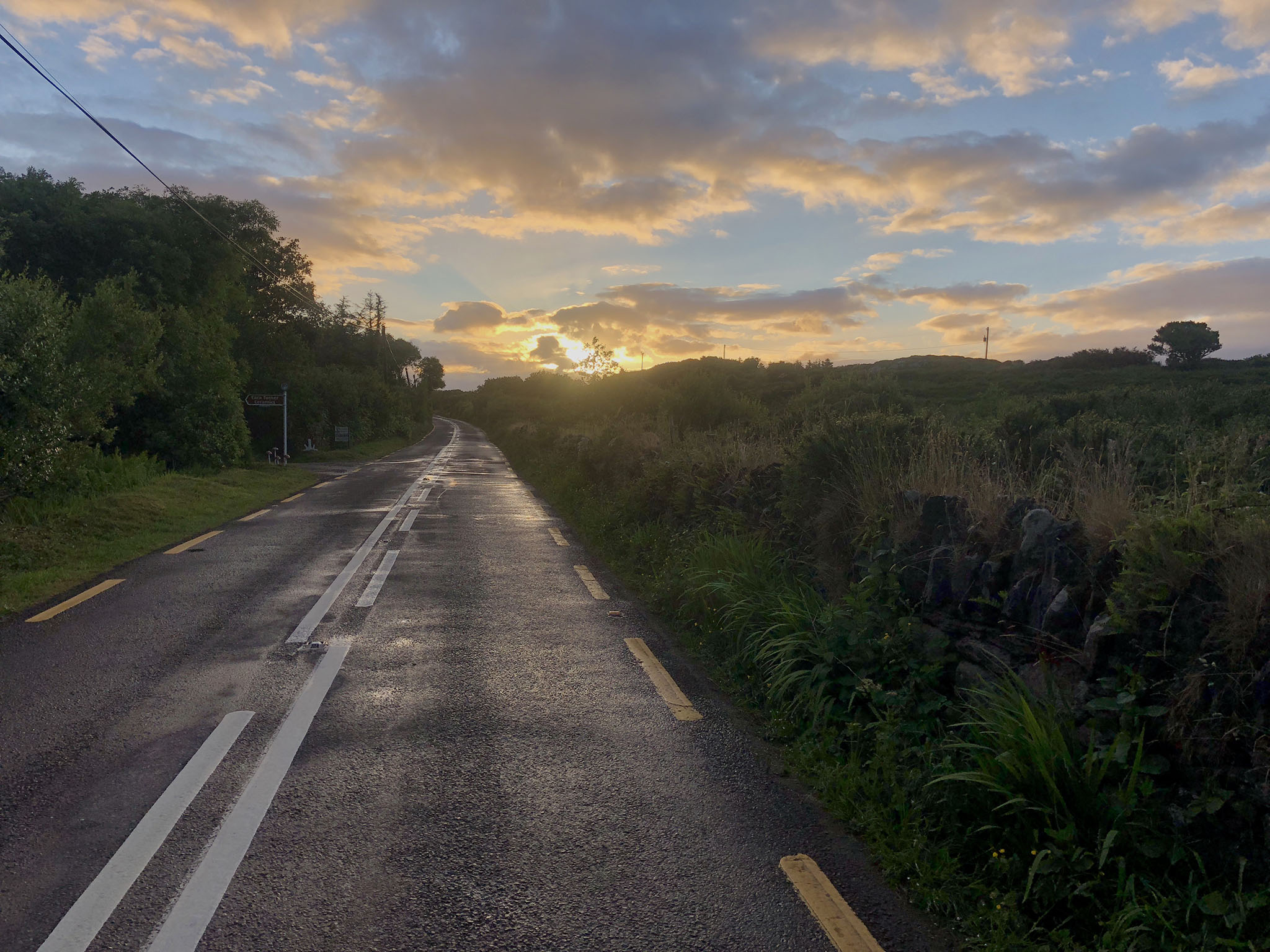
The first bit of cycling around the ring of Kerry road had been very nice, although at one point I made a wrong turn which took me half a mile down a hill following the route where a new road had just been built making the map out of date.
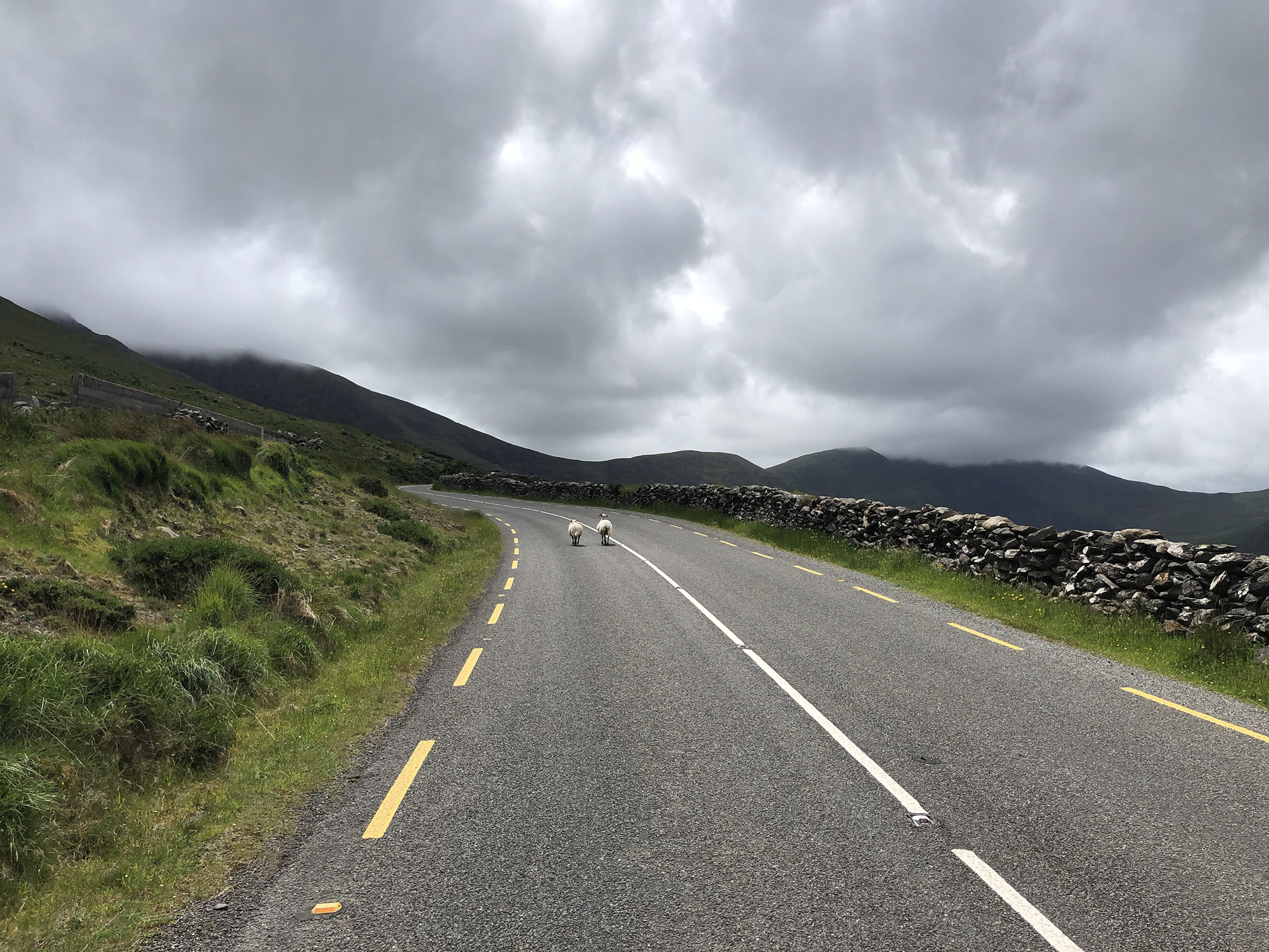
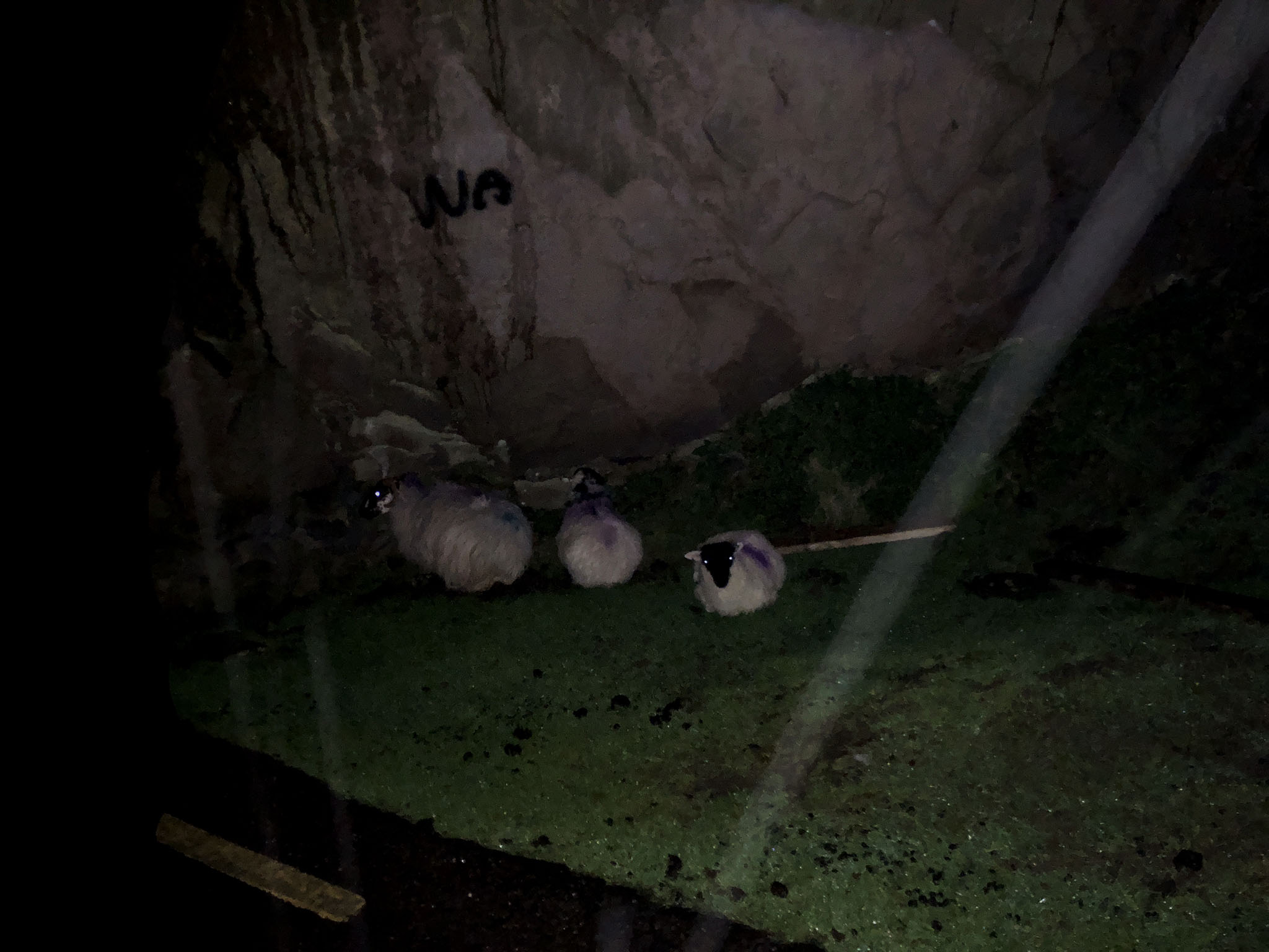
It started raining about midnight which I was prepared for. Things then went rapidly downhill as I went slowly uphill, climbing the Dunloe Gap. It was pitch black at this point and I was the only one around. As the climb got higher the weather really deteriorated, becoming driving rain and a very high wind that I was climbing into. Not being able to see my surroundings I had no idea what was coming up. Some parts were too steep to cycle so I had to get off and push. When I do this my dynamo lights go onto their dim ‘stand’ lighting which means I then can see almost nothing. At one point I found three sheep sheltering under a ledge.
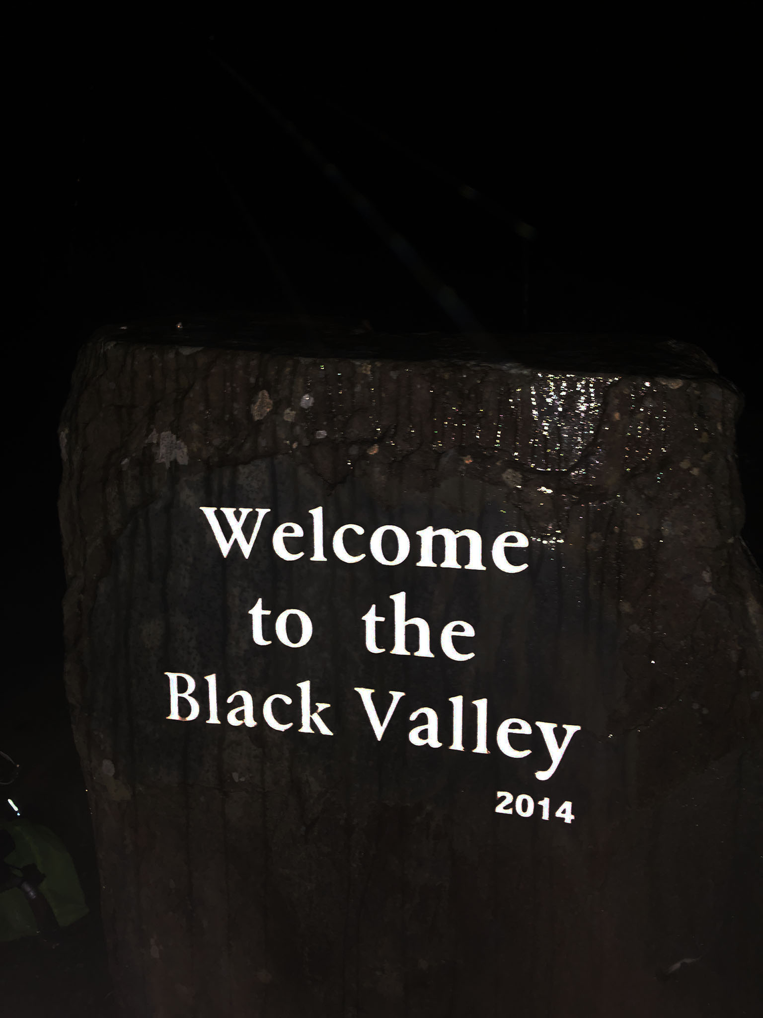
I was soaked through. I eventually got to the top and got off the bike to climb up a brief way on foot to take a picture of a signpost there but my phone couldn’t detect my wet fingers pressing the buttons. Worse still the light on the phone had stopped working and I had to fumble my way back to where I’d left the bike in the dark. This was actually pretty dangerous. I was very exposed, and if I had slipped and twisted an ankle or worse I don't think my prospects would have been good.
The rain then continued for four hours. Temperature was around 13 degrees so not cold but I was soaked through, so just had to keep on cycling to stay warm.
Another feature of the landscape here is there is nowhere really to shelter. No bus stops or anything like that and it was raining too hard for the trees to be of any benefit.
After a few hours of cycling I stopped when a solitary lamppost appeared. Just this one light after all the darkness provided a small bit of comfort and meant I could stop and locate a chocolate bar in my bag for energy.
I cycled on. Eventually it stopped raining and I carried on cycling in the windy conditions and slowly began to dry out.
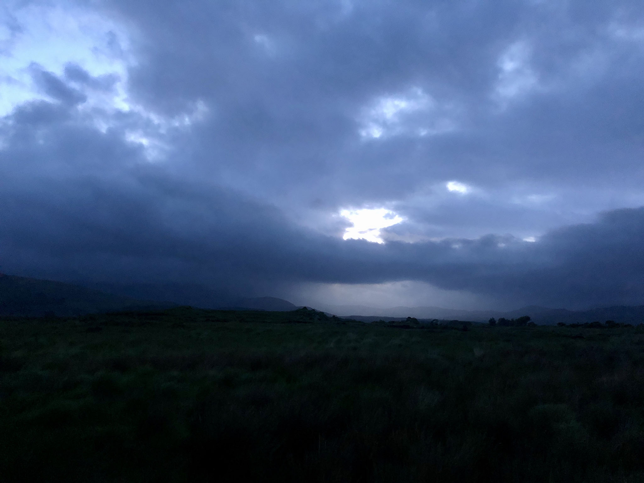
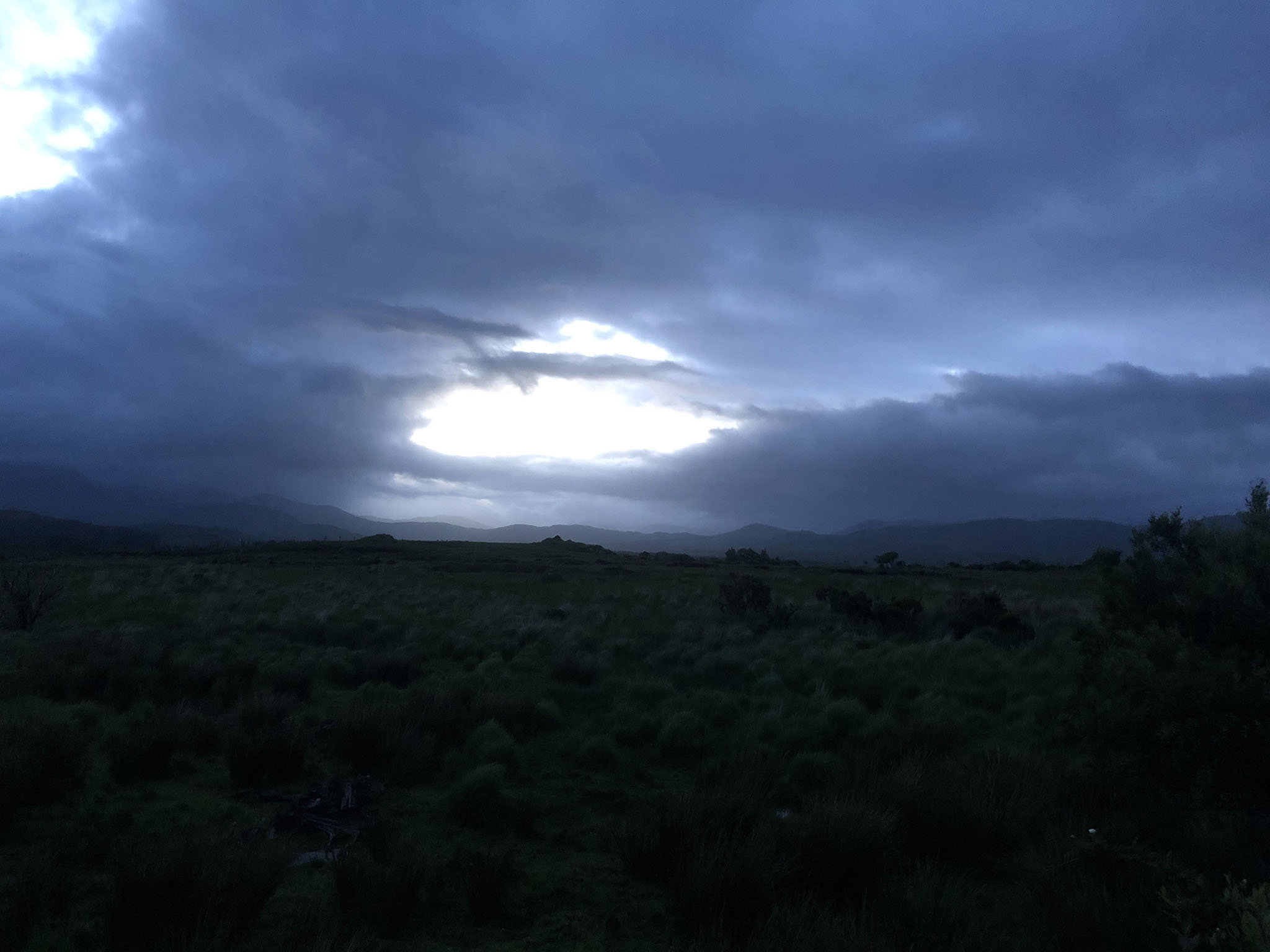
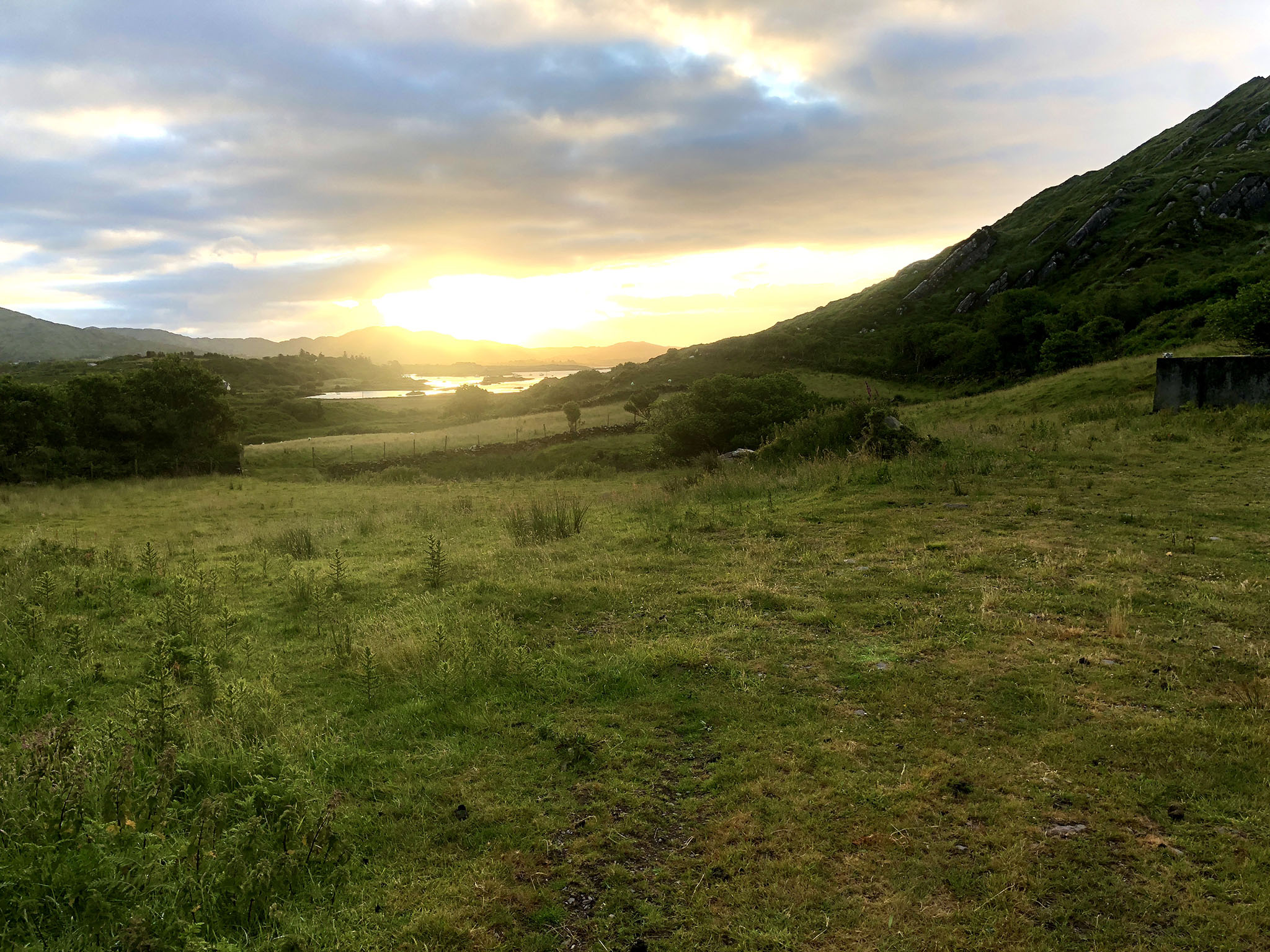
The sky started lightening around 4am. By 6am I was desparately tired and looking for somewhere to shelter and bivvy that was a bit out of sight and out of the wind.
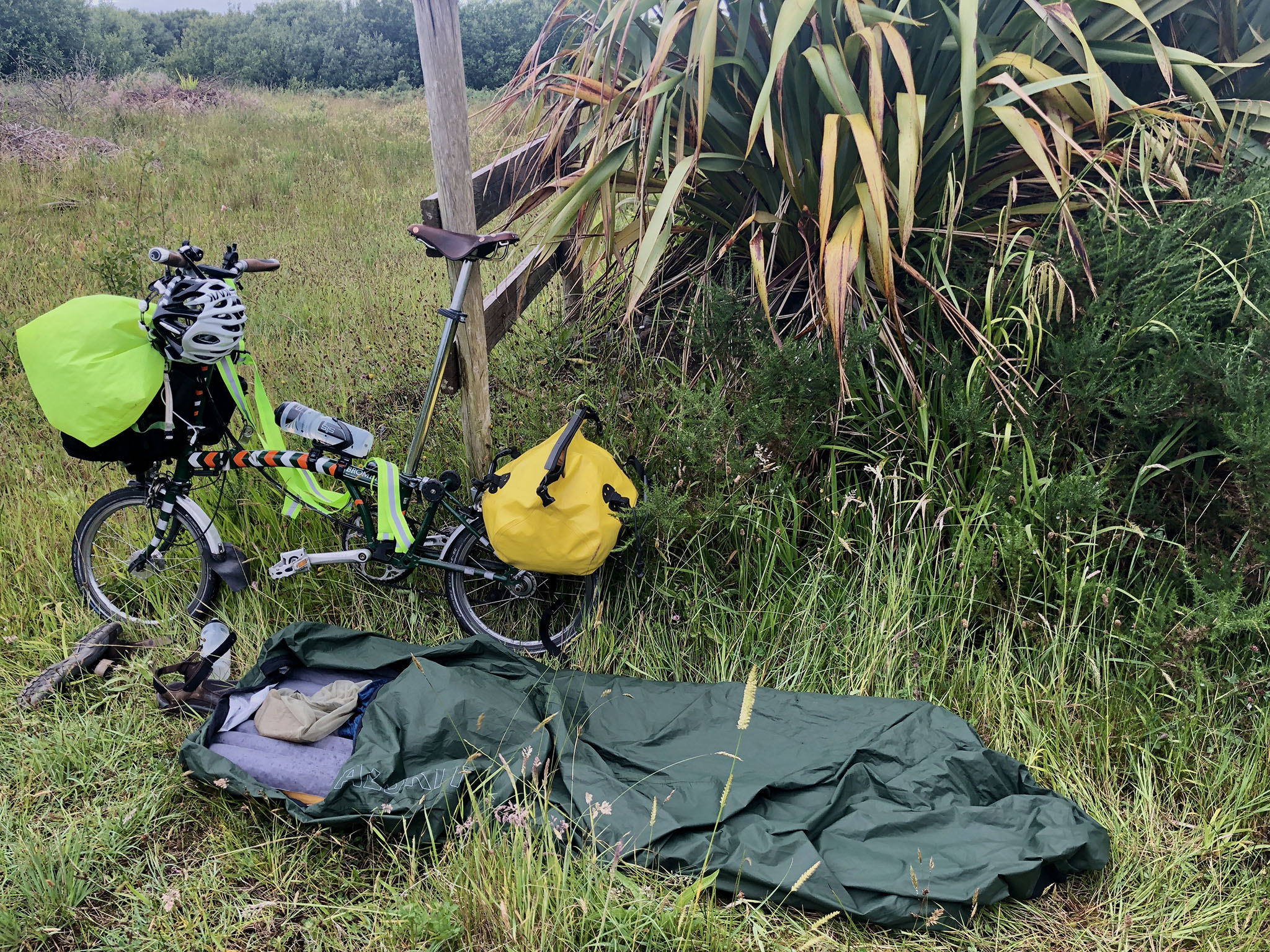
It took a long time to find somewhere suitable but I managed eventually, set up the bivvy bag, inflatable mat and midge head net, climbed in and didn’t need any encouragement to fall asleep.